
Transportation · Hub guide
Getting Around San Diego: A Complete Transportation Guide
San Diego is easier to navigate than many visitors expect. Trolleys, buses, commuter trains, a bay ferry and plenty of rideshares cover the city, but the county is big, so a car still helps for some trips. This guide covers every option, current fares, airport transfers and tips for choosing the right way to travel.
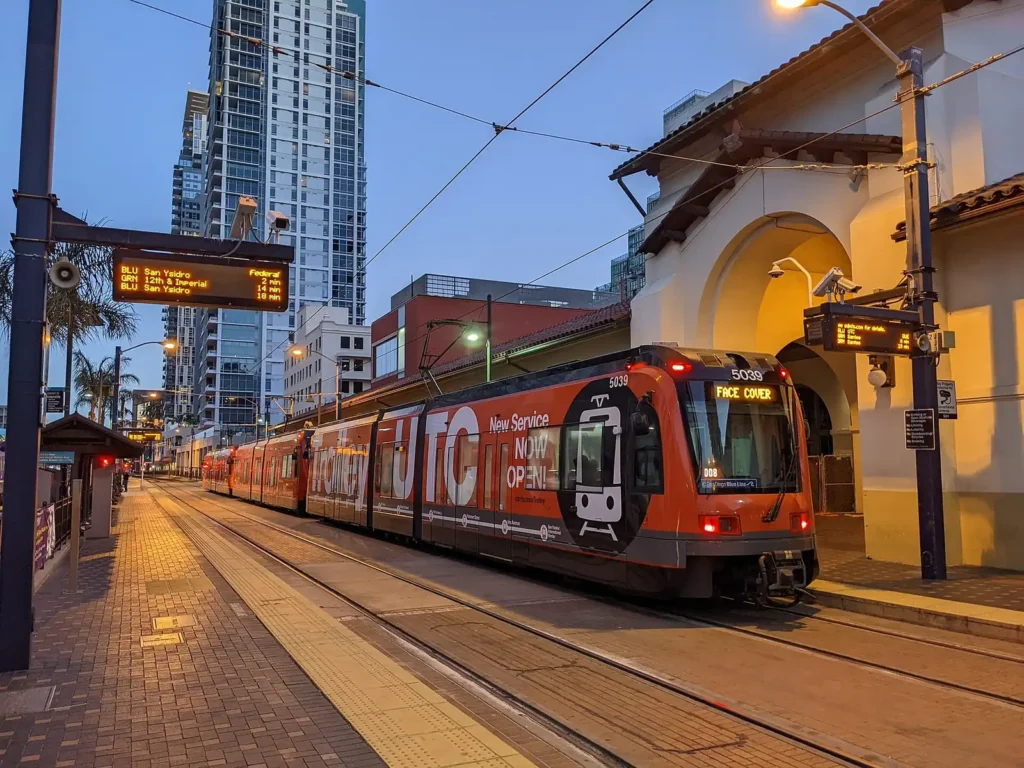
Getting around San Diego at a glance
- Main transit MTS trolley (light rail) and buses, paid with PRONTO
- Adult fare $3 with 2-hour transfers, capped at $7 a day (from Oct 1, 2026)
- Youth Riders 18 and under ride MTS free with a Youth PRONTO card
- Airport About 3 miles from downtown; the trolley does not stop there
- Coastal trains Coaster to North County, Amtrak Pacific Surfliner to LA
- Car needed? Not for downtown stays; helpful for beaches, North County and day trips
In this guide
- Getting around San Diego: quick answers
- Public transit: MTS trolley and buses
- Getting to and from the airport
- Driving in San Diego
- Rideshare and taxis
- Ferries and water taxis
- Trains
- North County transit
- Biking
- Scooters and e-bikes
- Walking
- Getting to key destinations
- Comparing your options
- Sample car-free itineraries
- Getting around during big events
- Crossing the border to Tijuana
- Safety on transit and the road
- Getting around as a resident
- Accessibility
- Getting around with kids
- Where to stay for easy transportation
- Frequently asked questions
- More guides
Getting around San Diego is easier than many visitors expect, especially if you base yourself near downtown. The city has a light rail trolley, an extensive bus network, a ferry across the bay, commuter trains and plenty of rideshare options. That said, San Diego County is large and spread out, and a car is still the most flexible way to reach many beaches, hiking trails and North County attractions.
Below we cover every option, with tips on picking the right one for your trip and links to our San Diego attractions, beaches and where to stay guides.
Fares, routes and schedules change. We note the latest figures we could confirm, but always check official sources such as San Diego MTS, NCTD and San Diego International Airport before you travel.
Getting around San Diego: quick answers
- Do you need a car? Not if you stay downtown and focus on central attractions. A car helps for La Jolla, many beaches, North County and the backcountry.
- Easiest airport transfer: Rideshare or taxi takes about 10 to 20 minutes to downtown in normal traffic. The free San Diego Flyer shuttle links the terminals with the Old Town Transit Center.
- Best public transit: The trolley for downtown, Old Town, Mission Valley, UC San Diego and the border at San Ysidro.
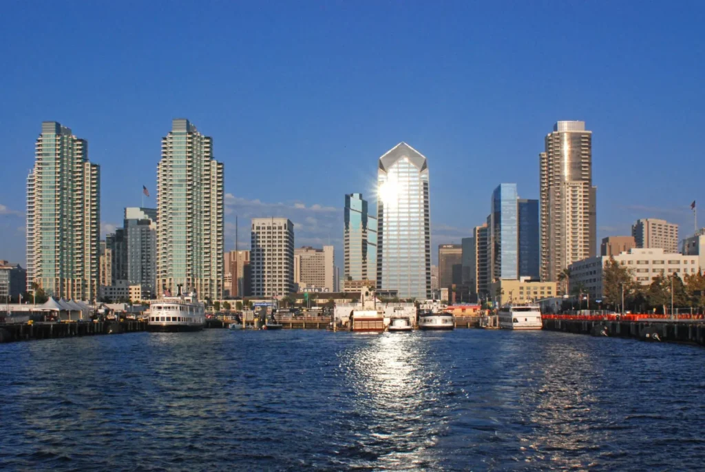
- Most scenic ride: The ferry from downtown to Coronado.
- Best for short trips: Walking, bikes and scooters downtown and along the coast.
- Cheapest way to explore: A PRONTO card or app, which caps your fares for the day.
Public transit: MTS trolley and buses
How the system works
The Metropolitan Transit System (MTS) runs the San Diego Trolley and most buses in the city and southern part of the county. Trolleys are frequent through the day on the main lines, and buses fill in the neighborhoods the rail lines don’t reach. Trip planning works well in Google Maps, Apple Maps and the MTS website, which show real-time arrivals on many routes.
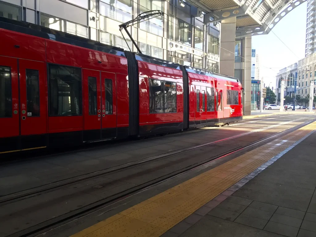
Trolley lines
The San Diego Trolley is a light rail system with four main lines:
- Blue Line: Runs from the border at San Ysidro through downtown and Old Town, then north along the Mid-Coast extension to UC San Diego and University Town Center (UTC).
- Orange Line: Connects downtown with East County communities such as Lemon Grove, La Mesa and El Cajon.
- Green Line: Links downtown with Old Town, Mission Valley, Fashion Valley, San Diego State University and Santee.
- Copper Line: A short East County shuttle line between El Cajon and Santee.
Useful stops for visitors
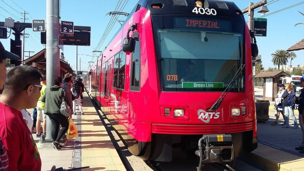
Old Town Transit Center
A major hub where the Blue and Green lines meet the Coaster, Amtrak, many bus routes and the free airport Flyer. It’s steps from Old Town San Diego State Historic Park.
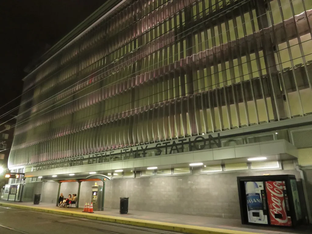
County Center/Little Italy
The closest station to Little Italy’s restaurants, the Saturday Mercato farmers market and the north end of the Embarcadero.
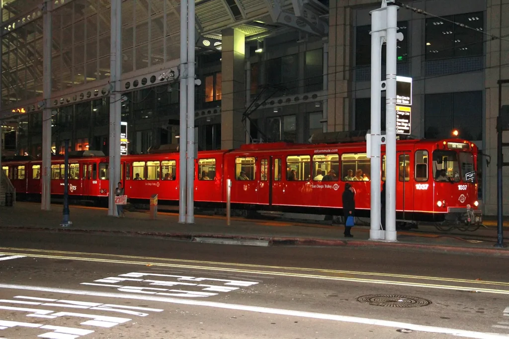
Downtown stations
Stops such as Santa Fe Depot, America Plaza, Gaslamp Quarter, Convention Center and 12th & Imperial put you within walking distance of most downtown sights and Petco Park.
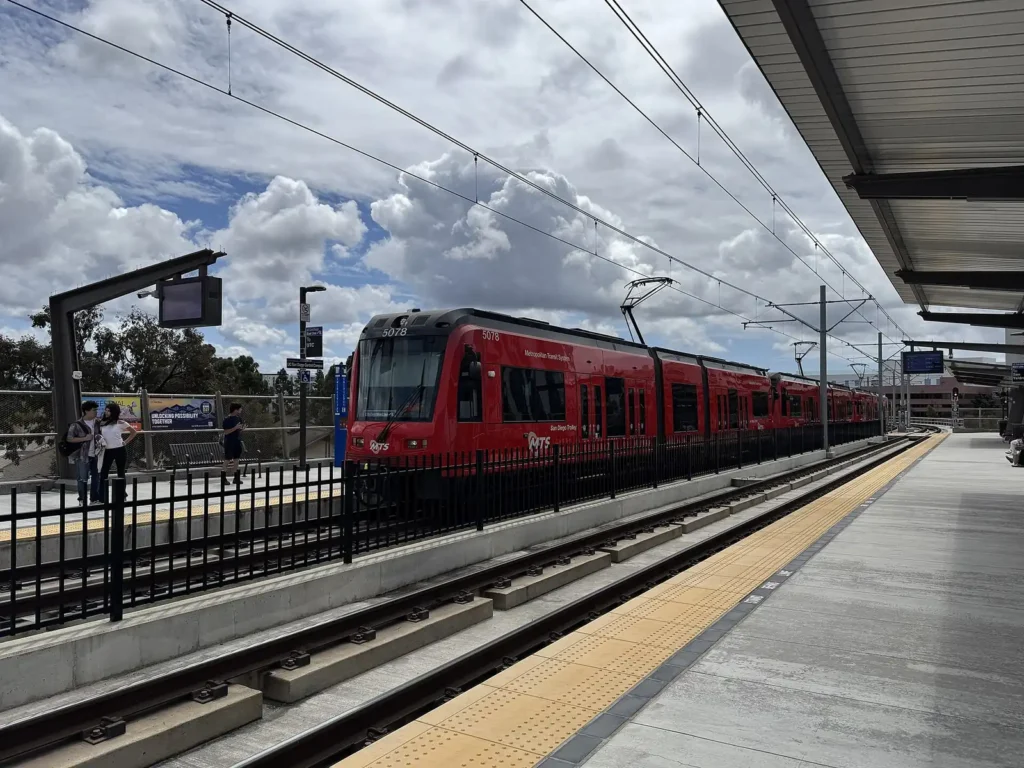
UC San Diego and UTC
The Blue Line’s northern end serves UC San Diego and the Westfield UTC area. Connect by bus for La Jolla Shores and the village.
Other handy stops include Fashion Valley for shopping, Snapdragon Stadium (on the Green Line) for big games and concerts, SDSU for university events, and San Ysidro for walking across the border into Tijuana.
Buses
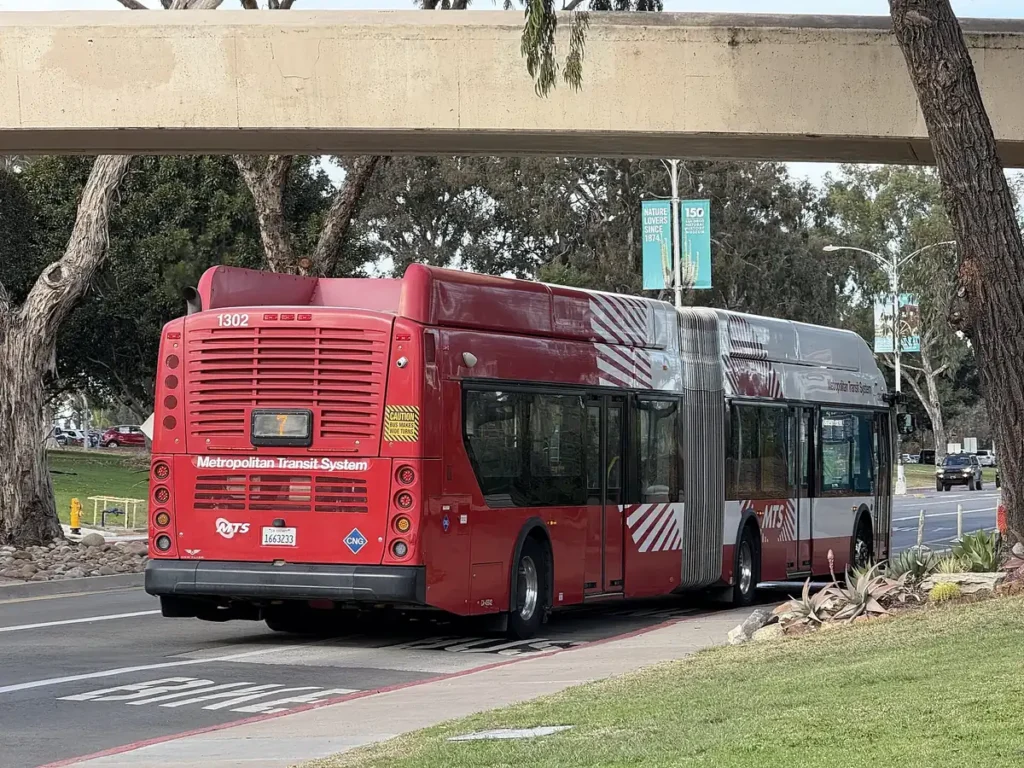
MTS buses serve the neighborhoods the trolley doesn’t, including beach areas like Pacific Beach and Ocean Beach, as well as La Jolla, Balboa Park and Coronado. Rapid routes are faster, with limited stops on busy corridors. Many routes connect at Old Town and downtown transit centers, so a trolley-plus-bus trip is often the easiest way to the coast. Route numbers and frequencies change, so check the MTS route maps or a trip planner on the day.
Fares and PRONTO passes
MTS uses the PRONTO fare system: tap a reloadable card or the mobile app each time you board. As of October 1, 2026, MTS lists these main fares (check before you ride, as they are scheduled to change again in 2027):
| Fare | Price (from Oct 1, 2026) | Notes |
|---|---|---|
| Adult one-way | $3 | Includes 2 hours of transfers |
| Daily cap | $7 | Stop paying once you hit the cap in a day |
| Monthly cap | $85 | For frequent riders |
| Youth (18 and under) | Free | Requires a Youth PRONTO card |
| Coaster one-way (NCTD) | About $6.50 | Check NCTD for zone and pass details |
Reduced fares are available for seniors, people with disabilities and Medicare cardholders with an eligible PRONTO account. Because PRONTO caps your fares automatically, you don’t need to decide on a day pass in advance; just tap every ride.
Tips for using transit
- Download the PRONTO app before your trip and load some value.
- Always tap before boarding the trolley; fare inspectors check regularly.
- Check schedules for late-evening and weekend service, which can be less frequent.
- Use a trip planner to time connections between trolleys and buses.
- Allow extra time during big events, when trains can be crowded.
Getting to and from the airport
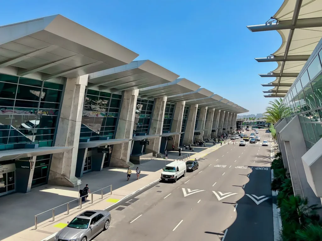
San Diego International Airport (SAN) sits only about 3 miles from downtown, one of the most convenient airport locations of any major U.S. city. The airport opened its new Terminal 1 in September 2025, and Terminal 2 serves the other airlines; check which terminal your airline uses before you go. The trolley does not stop at the airport, so you’ll need a bus, shuttle, car or rideshare for the first leg.
Rideshare and taxis
Rideshare and taxis are quick and convenient. Follow the airport signs to the designated pickup areas, which differ from the arrivals curb. Expect a short ride to downtown, Little Italy or Point Loma in normal traffic.
Public transit
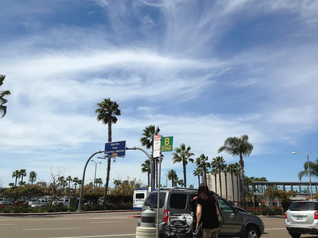
- San Diego Flyer: A free airport shuttle connects the terminals with the Old Town Transit Center, where you can catch the trolley, the Coaster, Amtrak and many buses.
- MTS Route 992: Connects the airport with downtown San Diego. Pay with PRONTO.
Check the airport’s ground transportation page for current routes and stop locations, as these have shifted with the new terminal.
Rental cars and parking
Rental car companies operate from a consolidated Rental Car Center on the north side of the airport, served by a free shuttle from the terminals. The airport offers short-term, long-term and garage parking, and rates vary by lot. Some hotels also run free airport shuttles, so ask when you book.
Driving in San Diego
When a car makes sense
A car is useful for La Jolla and many beaches, North County towns, Legoland, the Safari Park, hiking trails and the backcountry. It also helps for day trips to Julian, Anza-Borrego and Temecula, and if you’re traveling with young kids. Consider renting only for the days you need it, since you may not want to pay for hotel parking every night.
Major freeways
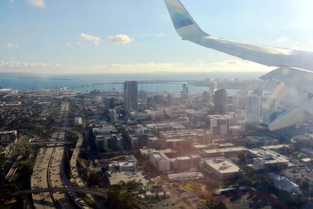
- Interstate 5 runs along the coast from the border to Orange County.
- Interstate 8 runs east to west through Mission Valley toward Ocean Beach and Mission Bay.
- Interstate 15 runs north to south inland toward Escondido and Temecula.
- State Route 163 winds through Balboa Park and Mission Valley.
- Interstate 805 is an inland alternative to I-5 between the border and Sorrento Valley.
Traffic
Weekday rush hours can be congested, especially on I-5, I-805 and I-15. Weekend beach traffic, Friday afternoons and big events can also slow things down. Real-time navigation apps are the best way to avoid jams.
Parking
Parking downtown, in La Jolla and near beaches can be expensive or limited. Look for public garages, read signs carefully and use parking apps where available. Many beach lots fill early on summer weekends. In Balboa Park, many lots now charge for parking (paid parking began in 2025), so check current rates and rules with the City of San Diego before you drive.
Gas, EVs and tolls
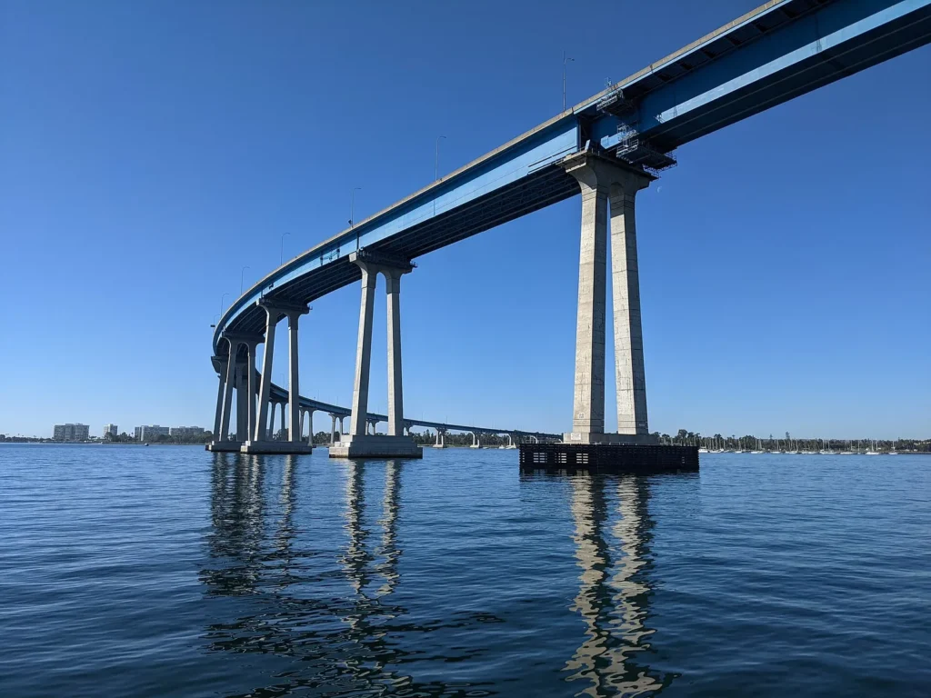
Gas prices in California are usually higher than the national average, and EV charging stations are common in garages and shopping centers. The Coronado Bridge is free to cross. SR 125 south of SR 54 is a toll road, so check your rental company’s toll policy if you plan to use it.
Rideshare and taxis
Rideshare is widely used throughout San Diego. It’s convenient for nights out, airport trips and areas without good transit, and it saves the hassle of parking in the Gaslamp, Pacific Beach or La Jolla. Expect surge pricing during big events and around the 2 a.m. bar closing time. See our San Diego nightlife guide for tips on planning a night out.
Ferries and water taxis
Coronado Ferry
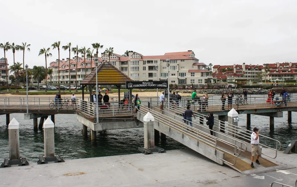
The ferry connects downtown (Broadway Pier and the Convention Center area) with Coronado’s Ferry Landing. It’s a scenic way to reach Coronado and doubles as a mini harbor cruise with views of the skyline and Navy ships. Bikes are usually allowed, and the Ferry Landing has bike rentals, shops and restaurants. Check Flagship Cruises for current times and fares.
Water taxis
Water taxis serve various points on San Diego Bay, typically by reservation or on demand. They’re handy for groups heading between downtown, Coronado and Shelter Island.
Trains
Coaster
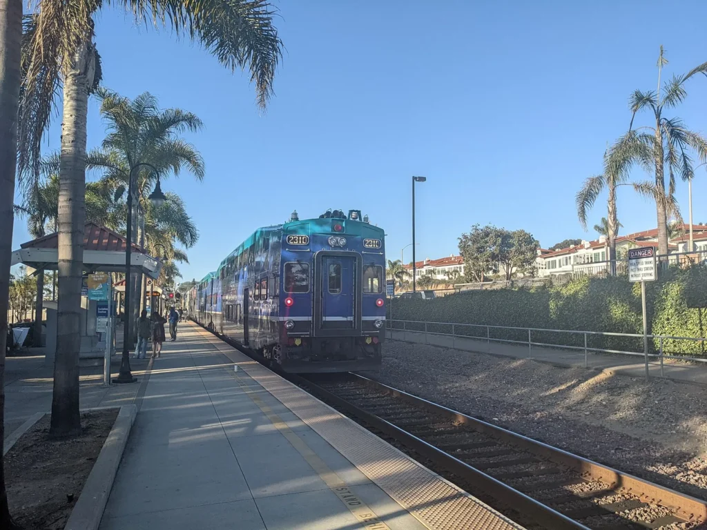
The Coaster commuter train runs along the coast between downtown San Diego and Oceanside, with stops including Old Town, Sorrento Valley, Solana Beach, Encinitas and Carlsbad. Weekend service is less frequent, so plan around the timetable.
Amtrak Pacific Surfliner
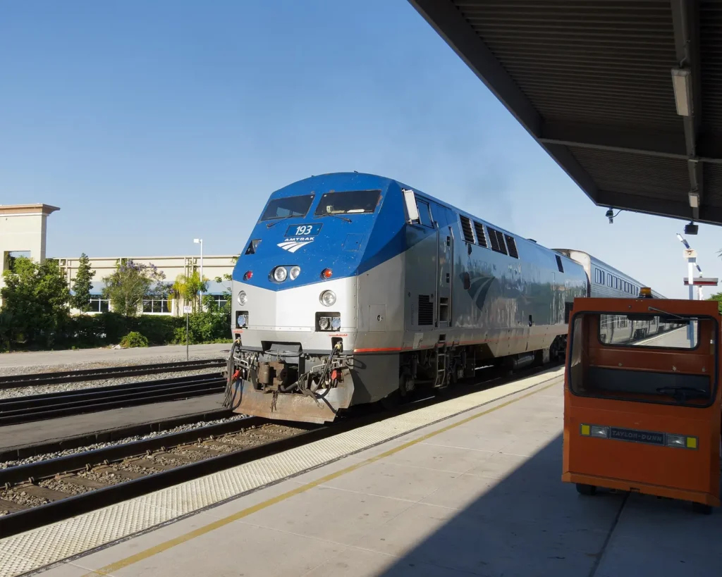
The Pacific Surfliner connects San Diego with Los Angeles, Santa Barbara and beyond, with long stretches of ocean views. It stops at Santa Fe Depot, Old Town and several North County stations.
Sprinter
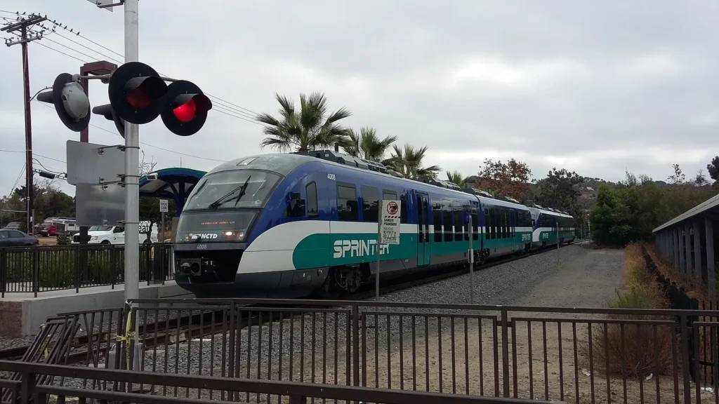
The Sprinter, run by North County Transit District (NCTD), connects Oceanside with Escondido via Vista and San Marcos. It’s mainly useful for residents and inland North County trips.
Coastal rail service occasionally pauses for track work or bluff stabilization in Del Mar and San Clemente, so check for service alerts before you rely on a train.
North County transit
North County Transit District (NCTD) runs the Coaster, the Sprinter and BREEZE buses in North County. If you’re staying in Carlsbad, Encinitas or Oceanside, the Coaster is a relaxing way to reach downtown San Diego without dealing with traffic or parking. Trains run less often than the trolley, especially on weekends, so check NCTD’s timetables and note the time of the last train back.
Biking
Bike paths
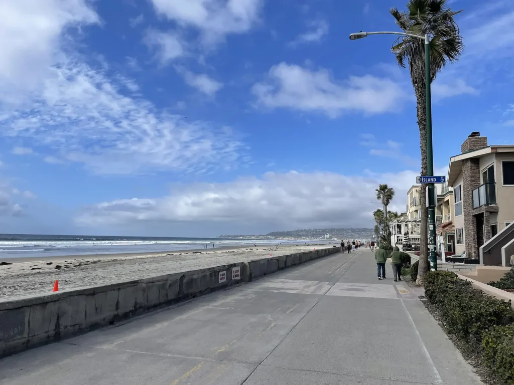
San Diego’s bike network keeps growing. Popular routes include the loops around Mission Bay, the Bayshore Bikeway around San Diego Bay, the Mission Beach and Pacific Beach boardwalk, and Coronado’s flat waterfront paths. Downtown has a growing network of protected bike lanes.
Rentals and safety
Bike and e-bike rentals are available in beach areas, downtown and Coronado. Wear a helmet, follow traffic laws, use bike lanes where possible, add lights at night and lock your bike whenever you leave it. Hills can be steep inland, so an e-bike makes longer rides easier.

Scooters and e-bikes
Shared scooters and e-bikes are available in some areas, with designated parking corrals, slow zones and no-ride areas, including some busy boardwalks. Rules change from time to time, so check the app and the City of San Diego for current regulations. Riders must follow traffic laws and should never ride on crowded sidewalks.
Walking
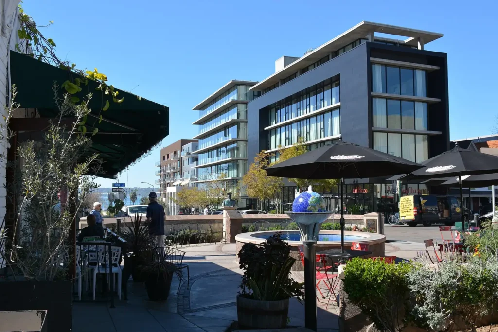
Downtown neighborhoods like the Gaslamp Quarter, East Village, Little Italy and the Embarcadero are very walkable. Balboa Park, Old Town, La Jolla Village and Coronado are also great on foot. Walking is often the fastest way to hop between downtown districts, and you’ll discover cafes, murals and shops you’d miss from a car. Wear comfortable shoes, since some areas, like Balboa Park and La Jolla, are hilly.

Getting to key destinations

Balboa Park and the Zoo
From downtown, take a bus such as Route 7, use rideshare or walk about 30 minutes. The trolley doesn’t stop at the park or the San Diego Zoo. Many lots now charge for parking.
La Jolla
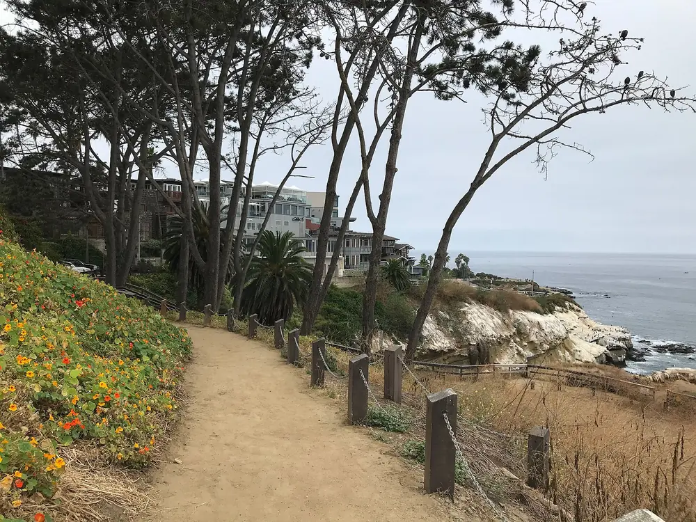
Drive, rideshare or take a bus from the UTC trolley area or Pacific Beach. Parking near the Cove is limited, especially on weekends. See our La Jolla Cove guide.
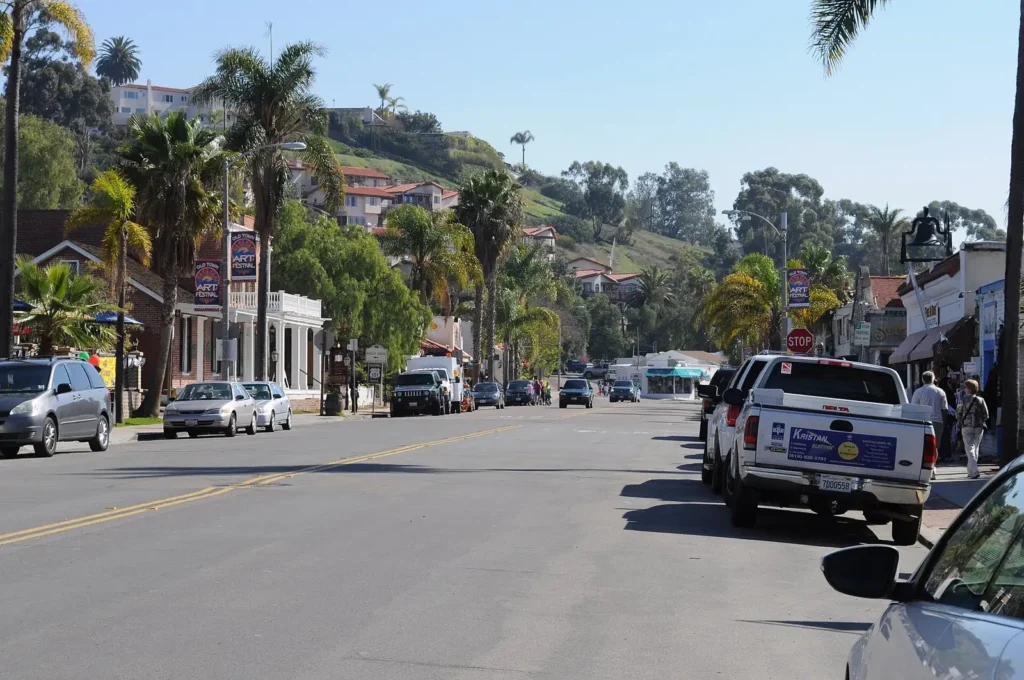
Old Town
Take the trolley, the Coaster or the airport Flyer to the Old Town Transit Center, then walk into the historic park.
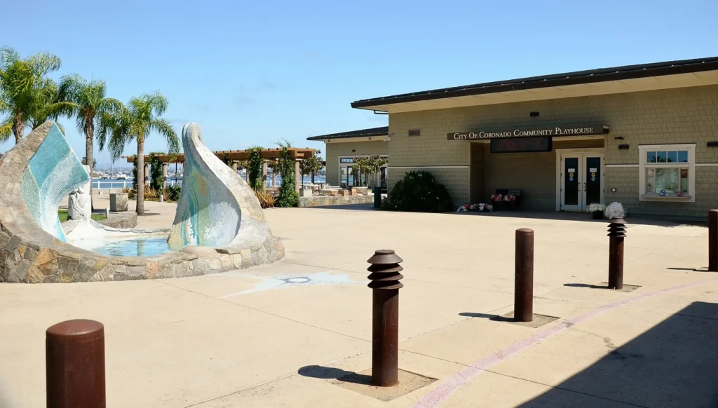
Coronado
Drive over the bridge, take the ferry from downtown, or ride an MTS bus across the bridge.
Legoland and the Safari Park
Driving is easiest for both. Legoland is in Carlsbad near I-5, and the San Diego Zoo Safari Park is east of Escondido. A Coaster ride to Carlsbad plus a rideshare can work for Legoland if you don’t have a car.
Beaches
Buses serve Pacific Beach, Ocean Beach, Mission Beach and La Jolla, but a car or rideshare is more convenient for most beaches, especially with gear. See our San Diego beaches guide and the best beaches in San Diego.
Comparing your options
| Option | Best for | Pros | Cons |
|---|---|---|---|
| Trolley | Downtown, Old Town, Mission Valley, border | Affordable, avoids parking | Limited coastal coverage |
| Bus | Neighborhoods, beaches, Balboa Park | Wide coverage | Slower, may need transfers |
| Car | Beaches, North County, day trips | Flexible | Traffic, parking costs |
| Rideshare | Nights out, airport | Door to door | Surge pricing |
| Ferry | Coronado | Scenic | Limited route |
| Coaster | North County coast | Comfortable, scenic | Limited schedule |
| Bike or scooter | Mission Bay, Coronado, downtown | Fun, flexible | Distances, hills, rules |
Sample car-free itineraries
Day 1: Downtown and the waterfront
Walk the Embarcadero to the USS Midway, explore Seaport Village, then take the ferry to Coronado for the afternoon and come back for dinner in Little Italy.
Day 2: History and parks
Ride the trolley to Old Town State Historic Park in the morning. In the afternoon, take a bus or rideshare to Balboa Park and visit the museums or the zoo.
Day 3: The coast
Take the trolley and bus to Pacific Beach or Ocean Beach, rent a bike for the boardwalk and enjoy the sunset before heading back.
Day 4: North County by train
Ride the Coaster to Encinitas or Carlsbad, walk to the beach and explore the downtown village, then catch an afternoon train back.
For more ideas, see things to do in San Diego and free things to do in San Diego.
Driving tips for visitors
- Avoid rush hours on I-5, I-805, I-8 and I-15 when possible.
- Use navigation apps to check traffic in real time.
- Read parking signs carefully; street sweeping, time limits and permit zones are common.
- Never leave valuables visible in a parked car.
- Watch for pedestrians, cyclists and scooters in busy areas.
- Expect slow traffic over the Coronado Bridge at peak times.
- Plan extra time for Petco Park games and big events.
Getting around during big events
During Comic-Con, Padres games, concerts and holiday events, downtown traffic and parking get very busy. MTS often adds service for major events, and using the trolley or walking from your hotel is usually faster than driving. See our San Diego events guide and events this weekend for what’s coming up.
Crossing the border to Tijuana
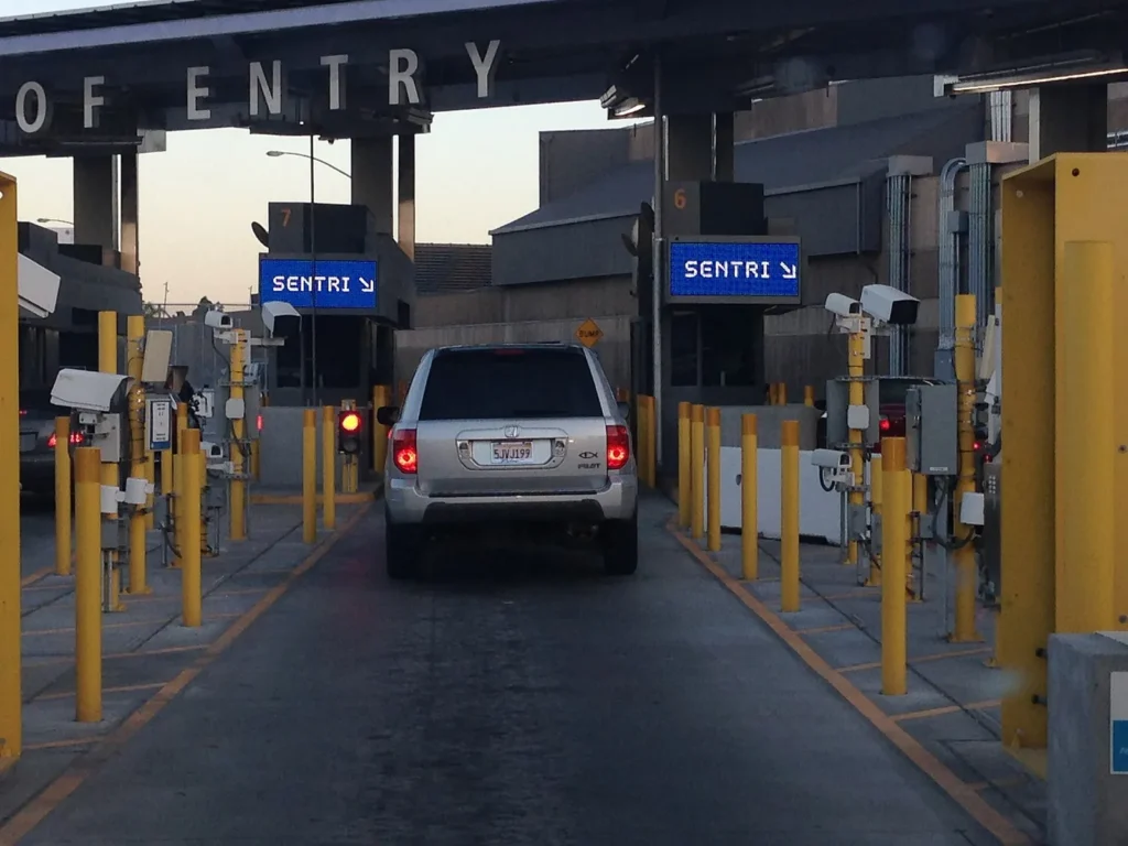
On foot
Many visitors take the trolley’s Blue Line to San Ysidro and walk across the border. This avoids long vehicle lines when returning, though pedestrian waits can still be long at busy times.
Cross Border Xpress and driving
The Cross Border Xpress (CBX) pedestrian bridge in Otay Mesa connects directly with Tijuana International Airport for ticketed passengers. Driving across requires Mexican auto insurance, and return wait times can be long, so check CBP border wait times first.
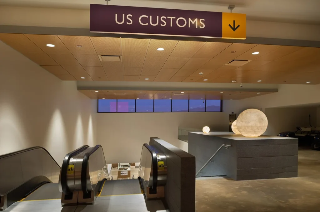
Documents and safety
U.S. citizens need a valid passport, passport card or other approved travel document to return. Check requirements and the current travel advisory with the U.S. Department of State. See our San Diego neighborhood guide for more day trip ideas.
Safety on transit and the road
San Diego’s transit system is widely used and generally safe. Keep belongings close, stay aware at stations, especially at night, and sit near the operator if you feel uncomfortable. Pedestrians should use crosswalks, as some busy streets can be dangerous, and cyclists should use lights at night. For more, see is San Diego safe.
Getting around as a resident
If you’re moving to San Diego, transportation is a big part of choosing a neighborhood. Living near a trolley line can make commuting easier, while many suburbs depend on cars. Learn more in our living in San Diego and best neighborhoods in San Diego guides.
Accessibility
MTS trolleys and buses are accessible, with ramps, lifts and priority seating. MTS Access paratransit is available for eligible riders. Many attractions offer accessible parking and entrances, and the Embarcadero and Coronado paths are flat and easy to navigate.
Getting around with kids
Strollers are allowed on transit, and kids usually love riding the trolley. Riders 18 and under ride MTS free with a Youth PRONTO card. California law requires children under 8 to ride in a car seat or booster seat in the back seat, so book one with your rental or rideshare if needed. See our family vacation in San Diego guide.
Where to stay for easy transportation
Downtown, Little Italy and Old Town offer the best transit access, with trolley stations, buses and the airport nearby. Mission Valley is good for trolley access and freeways. See where to stay in San Diego for neighborhood-by-neighborhood advice.
Frequently asked questions
Do I need a car in San Diego?
Not if you stay downtown and visit central attractions. For many beaches, La Jolla and North County, a car helps.
How do I get from the airport to downtown?
Rideshare and taxis take only a short time. MTS Route 992 runs to downtown, and the free San Diego Flyer connects to the Old Town Transit Center.
Does the trolley go to the airport?
No. Use the free Flyer shuttle to Old Town or a bus, taxi or rideshare.
How much is the trolley in San Diego?
From October 1, 2026, an adult fare is $3 with 2 hours of transfers, and PRONTO caps your daily fares at $7. Check MTS for current fares.
Does the trolley go to the beach?
Not directly. Buses connect from trolley stations to beach areas such as Pacific Beach and Ocean Beach.
Does the trolley go to the San Diego Zoo?
No. The zoo is in Balboa Park, which is served by buses and is a short rideshare from downtown.
How do I get to Coronado without a car?
Take the ferry from downtown or a bus across the bridge.
Is it easy to walk to Tijuana from San Diego?
Many visitors take the Blue Line to San Ysidro and walk across. Bring a valid passport or approved document to return.
Is the Coaster a good way to visit North County?
Yes, if your plans fit the schedule. It’s comfortable and scenic, with stations close to several beach towns.
Is parking expensive in San Diego?
Downtown and La Jolla can be expensive, and many Balboa Park lots now charge. Some beach lots are free but fill early.
More guides
- Is San Diego Safe? A Neighborhood-by-Neighborhood Look
- Cheap Hotels San Diego: Budget Stays That Are Good
- Best Time to Visit San Diego: Month-by-Month Guide
Photo credits
Featured image: Mds08011 / Wikimedia Commons, CC BY 4.0; How the system works: Vmzp85 / Wikimedia Commons, CC BY-SA 4.0; Old Town Transit Center: Xnatedawgx / Wikimedia Commons, CC BY-SA 4.0; County Center/Little Italy: Antony-22 / Wikimedia Commons, CC BY-SA 4.0; Downtown stations: Bill Morrow from Tucson, AZ, US / Wikimedia Commons, CC BY 2.0; UC San Diego and UTC: DJTechYT / Wikimedia Commons, CC BY-SA 4.0; A NFI XN60 bus on route 7 on in Balboa Park: Evan0512 / Wikimedia Commons, CC BY-SA 4.0; A battery-electric MTS bus, part of the agency's growing zero-emission fleet: Mds08011 / Wikimedia Commons, CC BY 4.0; Downtown San Diego's skyline from the bay, where trolley, bus and ferry routes meet: Rctckc / Wikimedia Commons (public domain); San Diego International Airport Terminal 2 in San Diego, Cal: GrapefruitSculpin / Wikimedia Commons, CC BY-SA 4.0; Rental cars and parking: FASTILY / Wikimedia Commons, CC BY-SA 3.0; When a car makes sense: Joe Mabel / Wikimedia Commons, CC BY-SA 4.0; Gas, EVs and tolls: Mds08011 / Wikimedia Commons, CC0; Coronado Ferry: Bernard Gagnon / Wikimedia Commons, CC BY-SA 3.0; Coaster: Mds08011 / Wikimedia Commons, CC BY 4.0; Amtrak Pacific Surfliner: King of Hearts / Wikimedia Commons, CC BY-SA 3.0; Sprinter: Xnatedawgx / Wikimedia Commons, CC BY-SA 4.0; Bike paths: Blervis / Wikimedia Commons, CC BY 4.0; Rentals and safety: Sebastian Wallroth / Wikimedia Commons, CC BY 4.0; The Gaslamp Quarter arch over Fifth Avenue, an easy walk from several trolley stops: Bernard Gagnon / Wikimedia Commons, CC BY-SA 3.0; Little Italy's compact, walkable streets near County Center/Little Italy station: Roman Eugeniusz / Wikimedia Commons, CC BY-SA 3.0; Balboa Park and the Zoo: Roman Eugeniusz / Wikimedia Commons, CC BY-SA 3.0; La Jolla: Mollymcc / Wikimedia Commons, CC0; Old Town: Joe Mabel / Wikimedia Commons, CC BY-SA 3.0; Coronado: Roman Eugeniusz / Wikimedia Commons, CC BY-SA 3.0; On foot: EasySentri / Wikimedia Commons, CC BY-SA 4.0; Cross Border Xpress and driving: OtayMesa_HarrisonPhoto / Wikimedia Commons, CC BY-SA 4.0.